Marine Mapping Club IPB University Collaborates with Nusantara Geosciences Institute to Provide Drone Operation Training
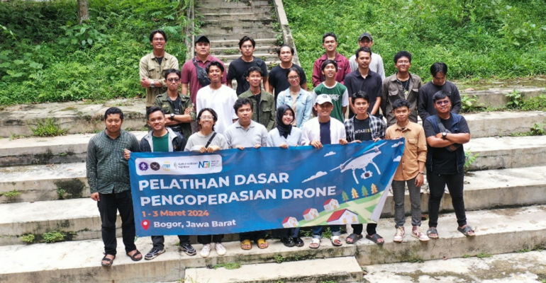
Marine Mapping Club (MMC) IPB University in collaboration with Nusantara Geosciences Institute (NGI) conducted basic drone operation training activities at the Computer Laboratory of the Department of Marine Science and Technology (ITK), Faculty of Fisheries and Marine Science (FPIK), IPB Dramaga Campus.
This training is part of a series of Education and Training (DIKLAT) activities that aim to improve insight, competence and ability in the basic operation of drone flights and practice how to fly drones safely and responsibly.
There was a presentation of material about the history and development of drones in Indonesia by Riza Aitiando Pasaribu, as the coach and instructor. He also encouraged the trainees to continue learning and deepening their knowledge to improve their ability to operate drones.
“I hope that with this training, you can master how to fly drones safely and confidently, both in research and in expedition activities,” said Riza.
The next presentation was delivered by Pandu Setyabudi and Muhammad A Ghofur Al Hakim, related to the use, benefits, and regulations governing drone flights. “In drone operations, there are regulations related to drone flights in airspace. This training is expected to provide insight into the restrictions and rules that must be obeyed by drone pilots,” Pandu explained.
The activity was also filled with technical and practical drone flights at FPIK IPB University with the assistance of the two technicians. In this session, each training member had the opportunity to perform drone flight operations under the supervision of the instructor.
In the training, each participant is also required to be able to set up tools and operate the drone through the obstacles that have been provided by following the directions of the instructor. Collaborating with the Nusantara Geosciences Institute, the training activities were enthusiastically followed by the participants. (MAP/RAT/Lp) (IAAS/RUM)