Himasper and MSP Hold Drone Operations Training, Flying Beautifully over Telaga Inspirasi and IPB Rectorate Building
The Student Association of Aquatic Resource Management (Himasper), Faculty of Fisheries and Marine Science (FPIK) IPB University organized a series of Aquatic Training Center (ATC) 2: Unveiling the Horizons: Comprehensive Program for Drone Operations, including Aquatic Mapping”.
Dudi Muhammad Wildan, SPi, MSi as the supervisor of Himasper IPB University said, “This activity is expected to stimulate the interest and open the insights of students of the Department of Aquatic Resource Management (MSP) IPB University in implementing technology towards aquatic science and ecosystem management in Indonesia.”
This event was a collaboration between Himasper and the MSP Department of IPB University. Three staff of the MSP Department of IPB University who already have a Small Unmanned Aerial Vehicle Remote Pilot license were present as presenters as well as instructors to share knowledge and experience with students.
The three instructors are Ikhwan Nurcholis, SPi, Haris Munandar, SKom, and Antoni, SPi. In addition to having a remote pilot license from the Ministry of Transportation of the Republic of Indonesia, all three are also experienced in taking aerial photography data and making maps.
As an introduction to drone operations and in order to facilitate the implementation of activities, the instructor team introduced a web-based application called Pilot IPB (https://msp.ipb.ac.id/pilot-ipb). This application bridges the training participants to know more about drone operations that prioritize the principles of safety, discipline and responsibility.
In his presentation, Haris emphasized the importance of safety factors in carrying out flight missions. He also directed all participants to try the drone pilot simulator before flying the drone directly in an open area.
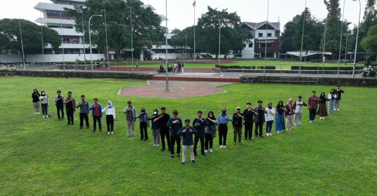
All participants seemed serious and enthusiastic about participating in the series of activities, including when conducting drone flight experiments on the Telaga Inspirasi field. “This opportunity to get drone knowledge and training is quite rare,” said Fitrah Ramadan as the Chief Executive of the event.
Regarding data acquisition, Ikhwan Nurcholis, SPi said that mapping using drones and flying drones are two things that are similar but not the same. Every remote pilot who has the ability to fly a drone is not necessarily able to take aerial photography data appropriately for mapping needs.
“A remote pilot who conducts data acquisition is required to be able to operate the drone manually to prioritize the safety factor in case of unwanted things,” he explained.
Antoni, SPi also shared some tips related to processing aerial photography data into orthomosaic material. He said that a remote pilot will have added value if he is able to process the data he has taken into a base map. Of course, this will be very useful, especially in the world of work.
“Currently, the needs of business and industry (DUDI), ministries, the private sector, and local governments for individuals who master data collection and map processing are very high. Considering that the management of an area cannot be separated from environment-based spatial management, of course the latest image data is needed in considering decision making on the management of an area,” he said. (*/Rz) (IAAS/ZQA)