Contribution to Petir Village Disaster Resilience
The IPB University Homecoming Lectures (Dospulkam) program was held once again. This time, Dr Heriansyah Putra’s team and students submitted a landslide vulnerability map for Petir Village, Dramaga Subdistrict, Bogor Regency.
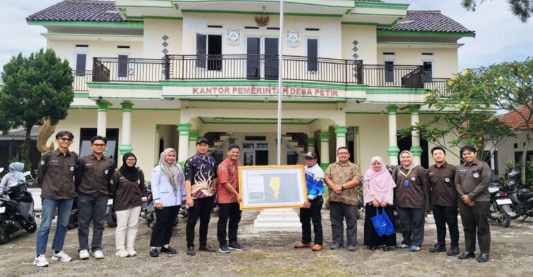
This program is a form of support for increasing the capacity of villages in disaster mitigation. The handover ceremony took place at the Petir Village Hall and was attended by the Chief of Petir Village, village officials, and lecturers (Ir Sutoyo, STP, MSi, Zainab Ramadhanis, ST, MS, Apriadi, ST, MSc, and Dr. Anisa Dwi Utami).
The landslide vulnerability map was compiled based on field surveys, geotechnical analysis, and topographic image interpretation by the Dospulkam team.
“This map is not just a technical document, but also an important instrument for the village government and community in planning spatial planning, development activities, and emergency response efforts,” said Dr Heriansyah, head of the Dospulkam team.
The chief of Petir Village expressed his appreciation to the Dospulkam team for their contribution in helping Petir Village identify potential disasters, especially landslides in the area.
He hopes that this landslide vulnerability map can be used as a reference in the preparation of village development plans that are oriented towards safety and environmental sustainability.
This activity is also part of a series of collaborative efforts between academics and the community to create a Petir Village that is resilient to disasters.
The handover of the map was concluded with an interactive discussion session. Village officials were given explanations about the symbols, colors, and interpretation of the map so that they could understand and use it independently in the future. (*/Rz) (IAAS/RMH)